Note that the 12 territories of Wulverheim are each divided into four areas. Each represents a corner of the compass; NE,NW,SE,SW.
County Gallimere[]
When exiting the town of Gallimere to the west you will enter the farmlands of County Gallimere.
It joins up to the rest of Wulverheim, leading to the Gull Coast if you head west and River Burly Griffin to the northwest.
Hostile Encounters: Bandits, Honey Badgers.
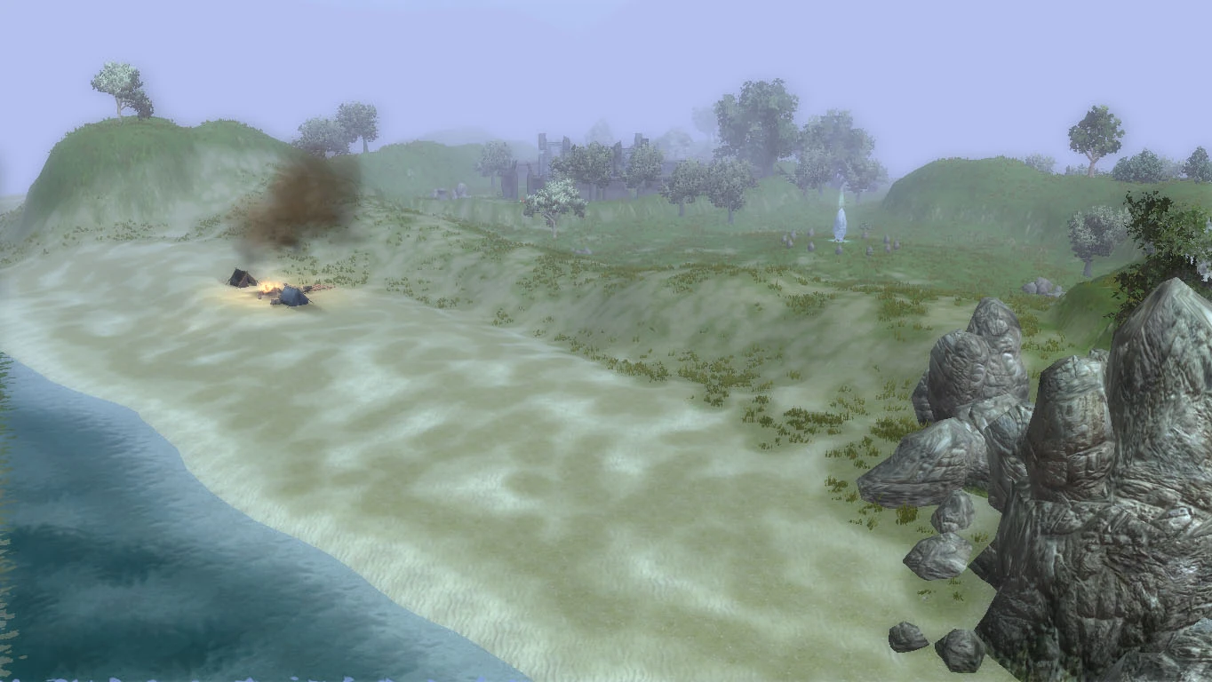
The Gull Coast[]
The Gull Coast is the eastern bulk of Wulverheim’s coast. Grassy terrain makes up its northern zones then it merges onto sand dunes and beaches as you venture south.
East leads to County Gallimere, North leads to River Burly Griffin, North West leads to Wulverberg Outskirts and West leads to Brockbank bay.
Hostile Encounters: Goblins, Pirates, Kobolds, Ogres, Wolves.
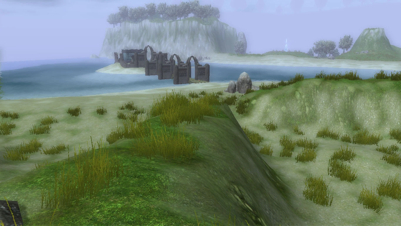
Brockbank Bay[]
Brockbank Bay is the western part of Wulverheim’s coast. It’s where the river bank runs out to sea. It’s made up of grassy terrain north and meets with sand dunes and beaches.
East leads to the Gull Coast, North leads to Wulverberg Outskirts and west leads to Oaknest Forest.
Hostile Encounters: Bandits, Bugbears, Scincidite Lizardfolk.
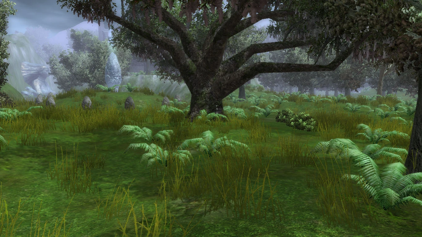
Oaknest Forest[]
Oaknest Forest is Wulverheim’s dense land of Oak trees in the south western region of the province.
East leads to Brockbank Bay, North east leads to Wulverberg Outskirts and north leads to Welwyn valley.
Oaknest forest is home to a grove of druids, shamans and rangers called Thorn’s Guardians of the Forest. They protect a Dryad named Thorn and try to maintain order in the forest.

Hostile Encounters: Forest Goblins, Trolls, Dire Wolves, Bears, Boars, Dire Boars.
Welwyn Valley[]
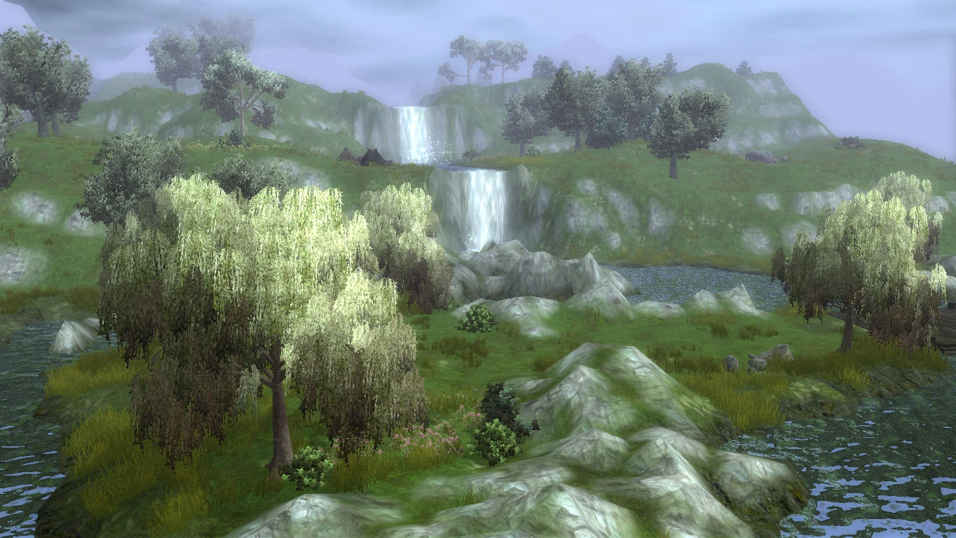
Welwyn Valley is the Midwestern part of Wulverheim. A lake sits in the centre surrounded by lush grass and trees.
East leads to Wulverberg Outskirts, South leads to Oaknest forest, West leads to County Liascelyn and north leads to Krypdyr Marsh.

Hostile Encounters: Goblins, Ogres, Dire Wolves, Bears, Bandits, Werewolves.
County Liascelyn[]
County Liascelyn is the farmlands divided by a mountain that surrounds the City of Liascelyn.
East leads to Welwyn valley.

Hostile Encounters: Boars and Wyverns.
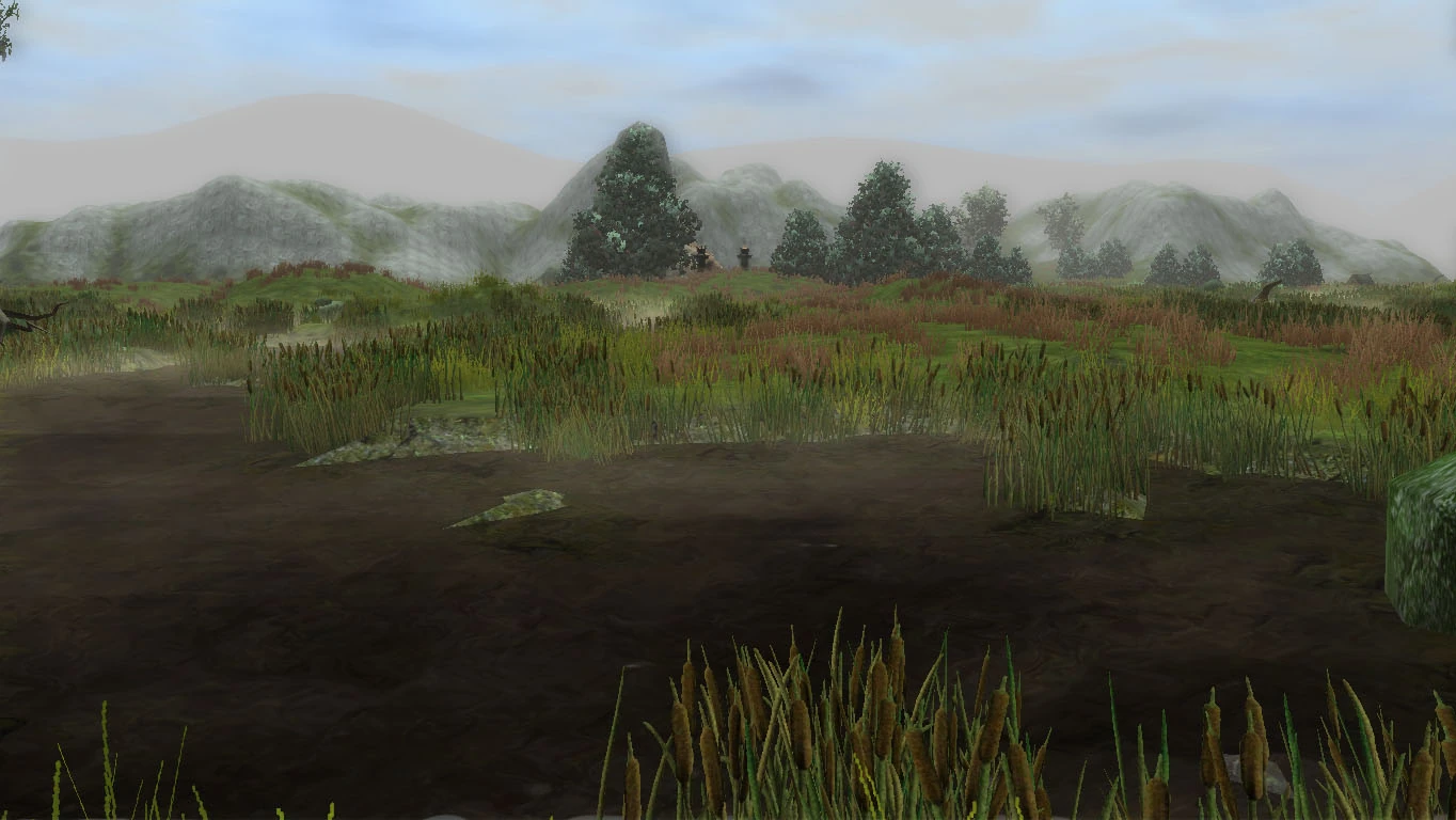
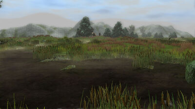
Krypdyr Marsh[]
Krypdyr Marsh is Wulverheim’s gloomy wet and muddy north-western territory.
East leads to Veiskille River, South east leads to Wulverberg Outskirts, South leads to Welwyn valley and North leads to Darkwright Village.
Hostile Encounters: Boars, Will-O’-Wisps, Ogres, Bandits, Marauders, Krypdrian lizardfolk, Werewolves.
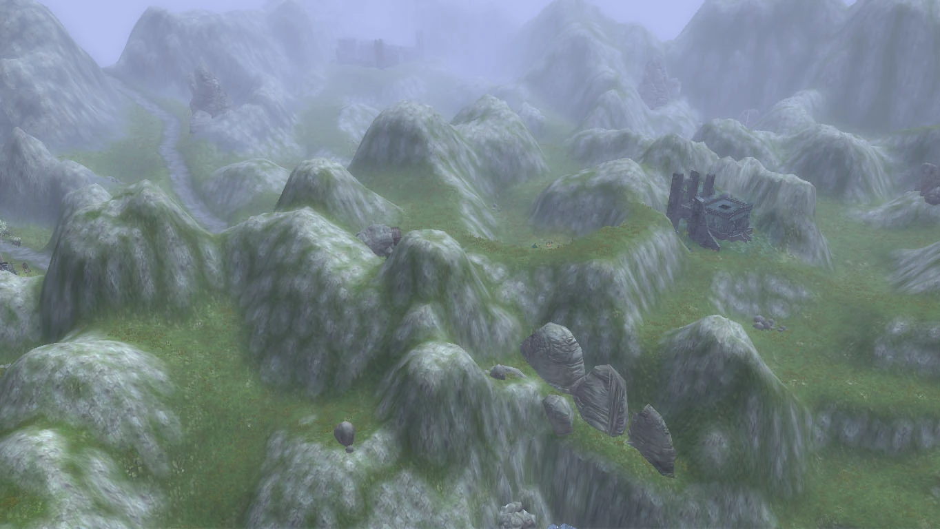
Veiskille River[]
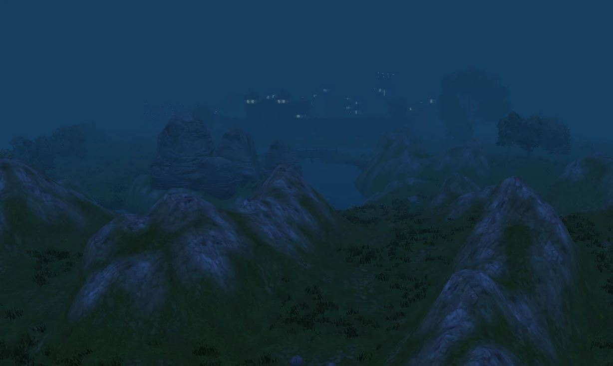
Veiskille River is Wulverheim’s northern range of hills. It is where the province meets with an impassable mountain range and where the river begins. There is a very small settlement in the heart of it named Stoneholm cottage.
East leads to the Jaggatooth Mountains, South leads to the Wulverberg Outskirts and West leads to Krypdyr Marsh.

Hostile Encounters: Dire Boars, Ogres, Marauders, Minotaurs.
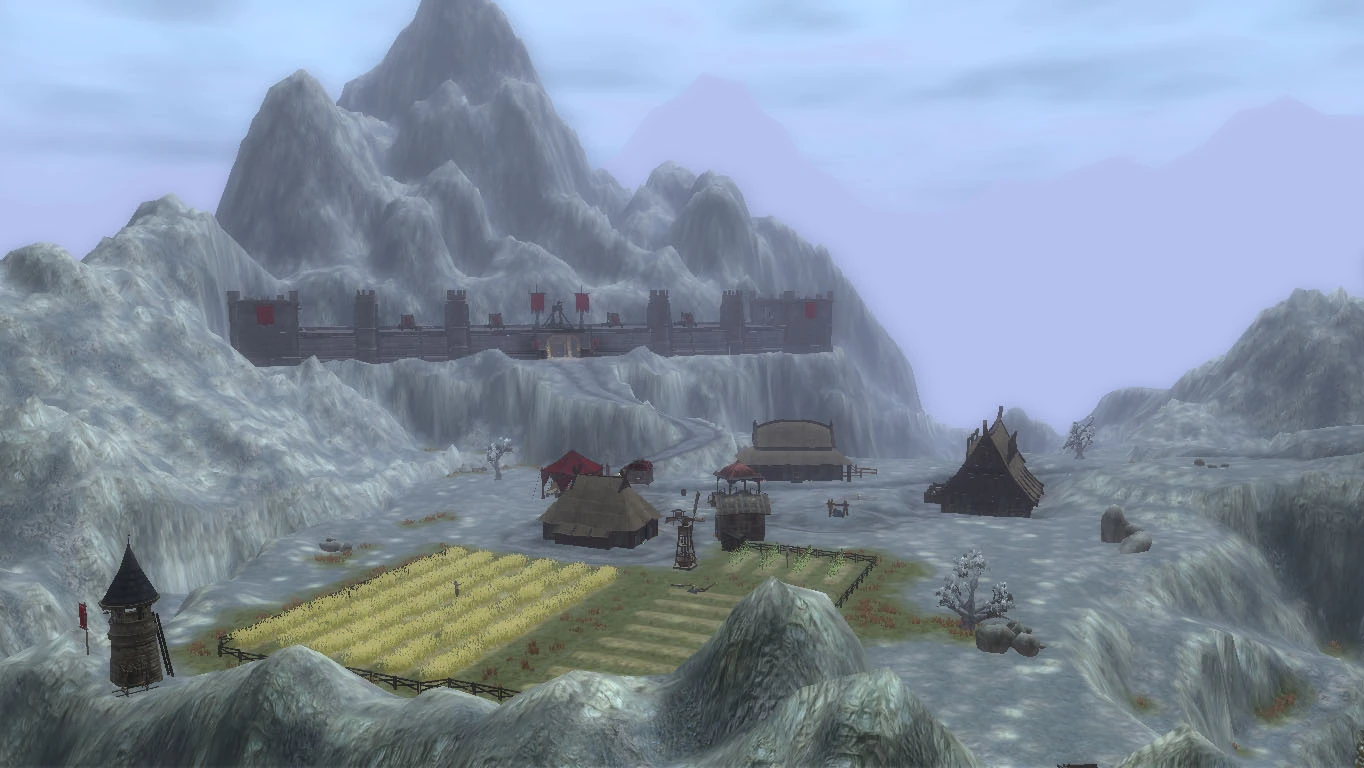
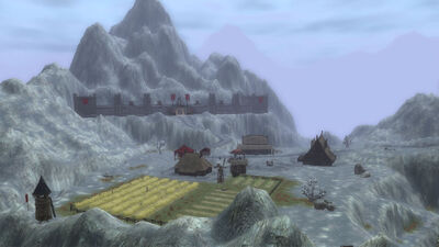
The Slegge Crags[]
The Slegge Crags, are a volcanic rugged mountain range in the far northeast region of the Province. Home to the Hammers Head dwarves, you will their keep in the north east corner.
South leads to the Jaggatooth Mountains and South West leads to Veiskille River.
Hostile Encounters: Goblins, Ogres, Dire Bears, Dwarven Bandits.
Jaggatooth Mountains[]
The Jaggatooth mountains are where the Crags begin merge with the lush countryside of the Province. Surrounding a wide part of a river they overlook the southern territories of Wulverheim.
South leads to River Burly Griffin, South West leads to Wulverberg Outskirts, West to Veiskille River and North leads to the Slegge Crags.

Hostile Encounters: Worgs, Dire Wolves, Ogres, Trolls, Marauders, Werewolves.
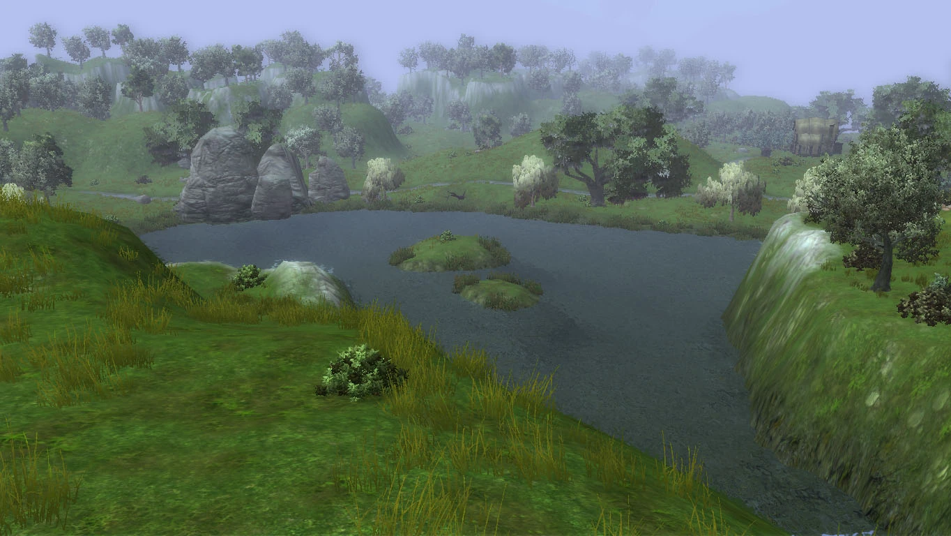
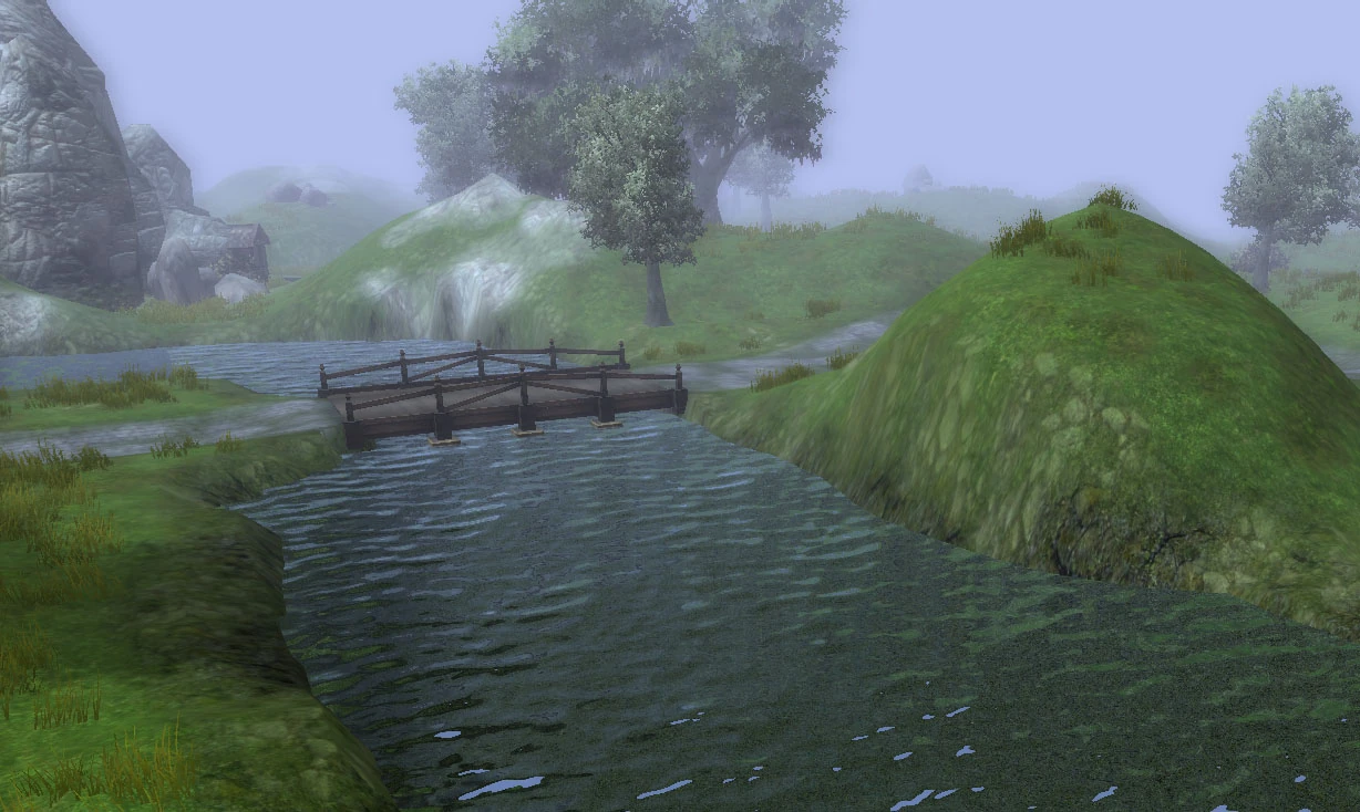
River Burly Griffin[]
River Burly Griffin is a lush land, with a river running through it. It gets its name because the river is actually shaped like that of a Griffin. It also has a small village to the south east called Griffins Gate.
South east leads to County Gallimere, South west leads to the Gull Coast, West leads to Wulverberg Outskirts and North Leads to the Jaggatooth Mountains.

Hostile Encounters: Bears, Giant Spiders, Ogres, Bandits, Orcs, Boars, Wolves.
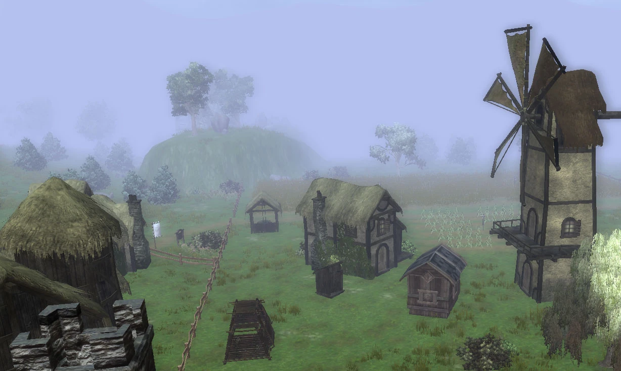
Wulverberg Outskirts[]
The Wulverberg Outskirts surround the City of Wulverberg. It is a mixture of farmland and small settlements that spill out of the city walls. It is the heart of Wulverheim and most of the other regions can be accessed directly from there.
East leads to River Burly Griffin, South East leads to the Gull Coast, South leads to Brockbank Bay, South West leads to Oaknest forest, West leads to Welwyn Valley, North West leads to Krypdyr Marsh, North leads to Veiskille River and North East leads to Jaggatooth Mountains.

Hostile Encounters: Worgs.